Brisbane Catchments Network Online Mapping Tool
Now catchment groups can simply enter details of their planned on-ground works into a clever new tool, and it displays on an online map.

A clever online tool developed to enable a holistic whole-of-catchment view of the landscape, incorporating natural resource management information to identify on-ground projects across Brisbane.
The tool addresses the longstanding problem where each passionate Brisbane Catchment Network group across Brisbane has been busy undertaking work in their individual catchment but hasn't been able to easily consider on-ground works at a landscape scale.
Designed to assist catchment groups with project design, the new GIS-based mapping tool provides transparency between groups and local government on project proposals and allows for awareness and integration of natural resource management priorities at a local scale.
The new tool helps to ensure planning is informed by data or landscape-wide priorities.
What we did
Since the tool has been rolled out, Brisbane Catchment Network members have uploaded hundreds of proposed projects. These projects are then sent to Brisbane City Council for pre-approval.
In partnership with Brisbane City Council, Healthy Land & Water delivered 11 training workshops teaching members of the Brisbane Catchments Network and Habitat Brisbane groups how to use the new mapping tool and discussing key natural resource management topics.
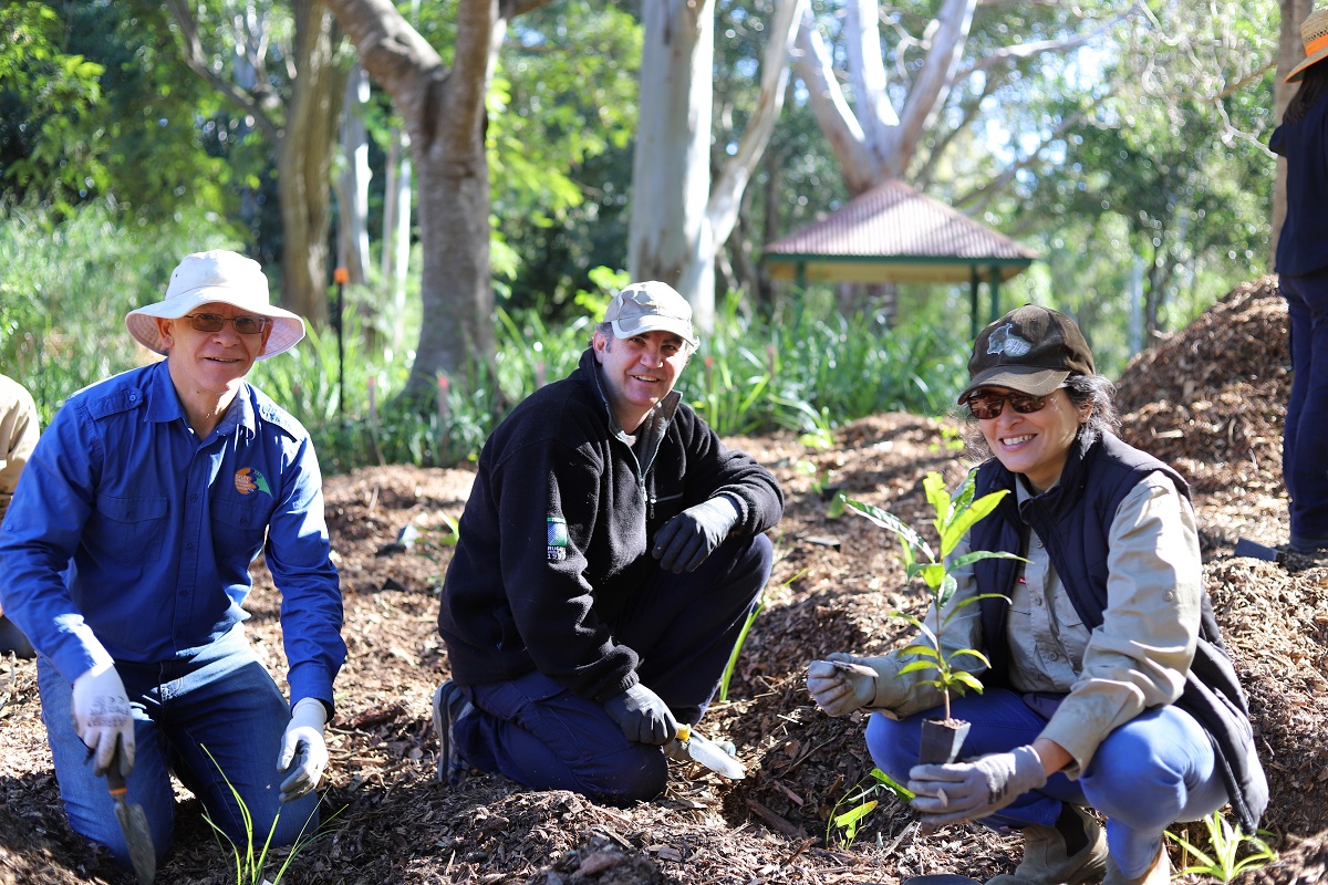
With assistance from their Brisbane City Council Creek Catchment Officers, catchment groups have started utilising this tool to help develop their Habitat Restoration Action Plans, which will provide a strategic plan for each catchment moving forward.
Measuring success
Top 8 benefits of this project
- Helping to identify agreed priorities and collaborations.
- Saving time and money in the project approvals process.
- Making project planning and coordinating easier.
- Breaking down barriers to community involvement in natural resource management, enabling community participation by making it easier for Brisbane Catchment Network groups to align projects with priorities outlined in the NRM Plan.
- Helping to facilitate informed discussions with key partners and stakeholders.
- Increasing knowledge and skills of Brisbane Catchment Network members.
- Providing transparency between Brisbane Catchment Network groups and Brisbane City Council on potential project locations across the electorate.
- Providing shovel-ready, pre-approved projects.
Why this project is important
|
Each passionate Brisbane Catchment Network group across Brisbane is busy undertaking work in their individual catchment, but historically, has not considered on-ground works at a landscape scale. This has meant that planning has not always been informed by data or landscape-wide priorities. This project allows for better collaboration leading to even better outcomes from a landscape perspective. |
Project snapshot
| Project name: | Brisbane Catchments Network Tool |
| Catchment: | South East Queensland |
| Timing: | 2019 – Ongoing |
| Partnerships: |
This project is being delivered in partnership with Brisbane City Council and the Brisbane Catchments Network. This project is supported by Healthy Land & Water, through funding from the Australian Government’s Environment Restoration Fund. |
What's next
There is huge potential to build on the successful work undertaken in this project.
Check out the Brisbane Catchments Network here: https://brisbanecatchments.org.au/
Project collaborators
This project is being delivered in partnership with Brisbane City Council and the Brisbane Catchments Network.
This project is supported by Healthy Land & Water, through funding from the Australian Government’s Environment Restoration Fund.
The online mapping tool is aligned with the SEQ Natural Resource Management Plan (the NRM Plan) and enables the community to be involved in the implementation of the NRM Plan.
